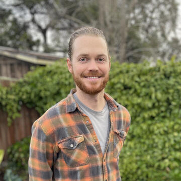
Cam Denney
Adjunct Professor
Part-Time Faculty
Harney Science Center G24
Biography
Cam is a cartographer, spatial data scientist, and educator. In various roles, Cam has applied GIS in the public, private, non-profit, and academic sectors. He currently works in map production and leads international GIS training programs for the World Health Organization. Cam sits on the board of BayGeo, where he organizes and instructs educational workshops.
Cam enjoys using cartography to transform data into visual stories. He has published maps about a variety of topics including housing policy, food insecurity, transportation, public health, roadkill, and pizza.
Expertise
- Geographic information systems
- Spatial data science
- Cartography
- Data visualization
- Education
Research Areas
- Transportation networks
- Urban geography
- International development
- Public health
- Open source tools
Education
- University of California Davis, MA in Geography, 2018
- University of Illinois, BS in Environmental Engineering, 2011
Prior Experience
- GeoSpatial Health Analyst, World Health Organization
- Research Analyst, Alameda County Community Food Bank
- Spatial Computing, Meta
- Researcher, Institute for Transportation Studies
- Field Instructor, National Outdoor Leadership School (NOLS)