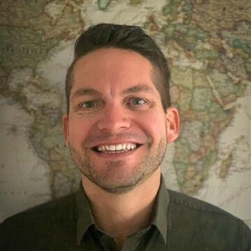
Paul Nesbit
Assistant Professor
Full-Time Faculty
Biography
Paul is from southern California and earned his PhD from the University of Calgary after completing an MA in Geography from Cal State University - Long Beach (CSULB). His research is at the intersection of modern digital geospatial technologies and geologic mapping, aimed at the assessment, documentation, and application of complete geospatial workflows to analyze and better understand fundamental environmental, geologic, and geomorphologic challenges. His current focus implements drone-based photogrammetry, remote sensing, deep learning image analysis, and 3D geovisualization for education and science communication using videogame engines and web-based methods.
Expertise
- Remote sensing and photogrammetry
- Geographic information systems (GIS)
- Geomorphology
- Geospatial analysis
- Drones/uninhabited aerial vehicles (UAV)
Research Areas
- High-resolution (e.g., drone) remote sensing of 3D environments and landscapes
- Deep Learning and machine learning in geospatial analysis
- Environmental change detection over geologic and human timescales
- 3D geovisualization and dissemination
- Geographic Information Systems (GIS)
Education
- University of Calgary, PhD in Geography, 2020
- CSU - Long Beach, MA in Geography, 2014
- CSU - Long Beach, BS in Geology, 2009
- CSU - Long Beach, BA in Geography, 2009
Awards & Distinctions
- University of Calgary, Chancellor's Graduate Medal, 2021
- Canadian Association of Geographers, The Starkey-Robinson Award for Graduate Research on Canada, 2021
Selected Publications
- Nesbit, P.R., Hubbard, S.M., and Hugenholtz, C.H. 2022. Direct georeferencing UAV-SfM in high-relief topography: Accuracy assessment and alternative ground control strategies along steep inaccessible rock slopes. Remote Sensing, 14(3), pp. 490.
- Hage, S., Romans, B.W., Peploe, T.G.E., Poyatos-More, M., Ardakani, O.H., Bell, D., Englert., R.G., Kaempfe, S.A., Nesbit, P.R., Sherstan, G., Synnott, D.P., and Hubbard, S.M. 2022. Fossil submarine deltas as hotspots for the long-term burial of organic carbon. Nature Geoscience.
- Nesbit, P.R., Hubbard, S.M., Daniels, B.G., Bell, D., Englert, R.G., and Hugenholtz, C.H. 2021. Digital re-evaluation of down-dip channel-fill architecture in deep-water slope deposits: multi-scale perspectives from UAV-SfM. The Depositional Record, 7(3), pp. 480-499.
- Nesbit, P.R., Boulding, A.D., Hugenholtz, C.H., Durkin, P.R., and Hubbard, S.M. 2020. Visualization and sharing of 3D Digital Outcrop Models to promote open science. GSA Today, 30(5), pp. 4-10.
- Nesbit, P.R. and Hugenholtz, C.H. 2019. Enhancing UAV–SfM 3D Model Accuracy in High Relief Landscapes by Incorporating Oblique Images. Remote Sensing, 11(3), pp. 239.